
Updates
on everything Geocodio
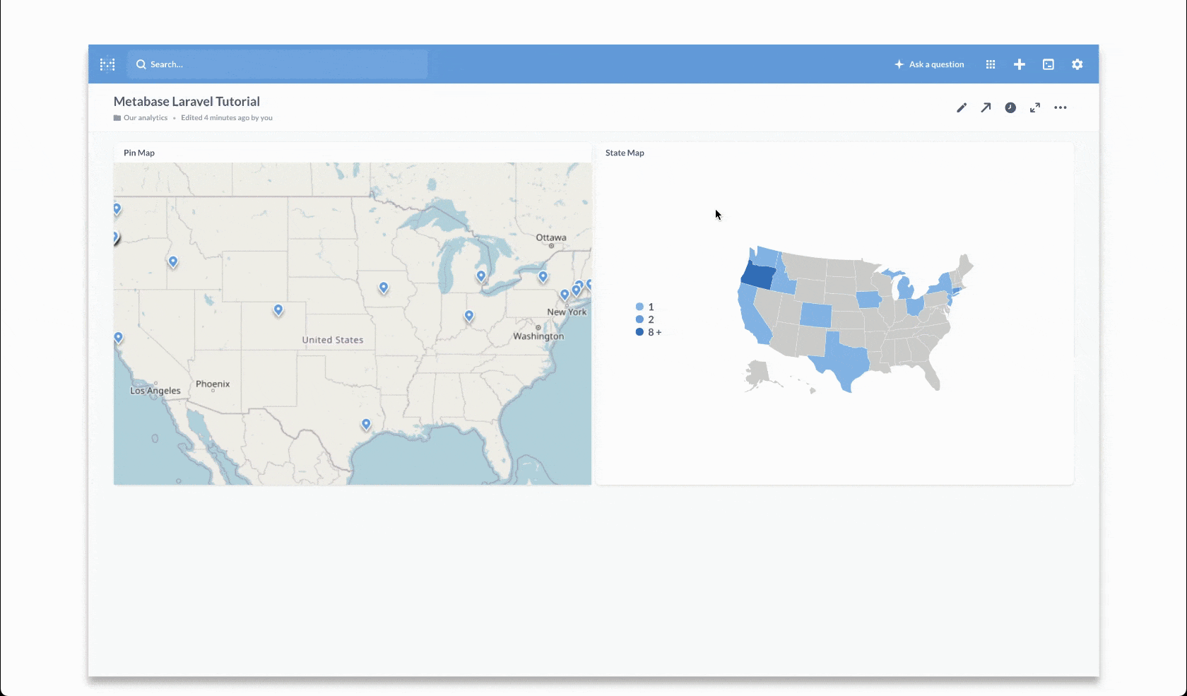
New Tutorial: Create Metabase Maps with Geocodio and Laravel
This tutorial will show you how to pull in all the geographical data you need from Geocodio to fully utilize Metabase maps, complete with production-ready Laravel code.
Metabase is an open-source business intelligence suite that makes it easy for anyone in an organization to ask questions of data.
This tutorial walks you through how to integrate Geocodio with Metabase to create maps to better understand your data. It includes Laravel (PHP) code samples to help you get off the ground quickly.
Related
FFIEC Data Append Now Available In Beta
Customers now have access to key datapoints from the FFIEC flat file, including Income Level, Urban/Rural code and more.
Lists API Now Available for Enterprise
Enterprise customers can now upload a spreadsheet directly via the Lists API.
Maps Now Available for Enterprise
Enterprise customers can access mapping tools to visualize location data.
Ridings for Canada's 2025 Election
Updated electoral districts (ridings) are available for Canada's 2025 elections.
Don't miss what's new
Geocodio ships new features and data updates regularly. We'll only email you with the good stuff, nothing else.
Thanks for subscribing! Check your inbox to confirm.